
Search Westover Property Records
Start a Westover search in the Monongalia County Assessor database or the WV Property Viewer. Save that parcel number. The County Clerk holds the deed and plat trail. The Sheriff Tax Office handles tax bills and delinquency. Westover contributes zoning, ward maps, floodplain permit rules, and the municipal code.
Those city files explain approved land use. But they never replace the county deed or tax card. The Monongalia County property-search route covers the shared county lookup fields. Add the city zoning map and ward view once the parcel is located.
- Search the county assessor or WV Viewer with the E-911 address or parcel ID.
- Save the parcel number and compare it with a Westover ward and zoning map.
- Use the County Clerk IDX for a deed, plat, easement, or right-of-way entry.
- Check the Sheriff Tax Office for billing or delinquent status.
- Ask Westover for a development or floodplain record tied to the address.
The city publishes an overall zoning map plus separate maps for Wards 1, 2, and 3. It offers no public address-based permit search. Use the county parcel ID to identify the lot, compare its ward and zoning, and ask Westover about the development file, site plan, or floodplain permit that applies. Start at the official map page. That page is the current map entry point.
Who Keeps Westover Records
Monongalia County keeps the titles. Its offices hold Westover's land-title, assessment, tax, and GIS records. Westover keeps the local files. Zoning and development materials there include the overall zoning map and three ward maps, while the state profile lists the city at 500 Dupont Road. Floodplain questions go to the municipal office. For certified land instruments, use the County Clerk instead, and ask the city about the site-plan record.
Monongalia County Records
The Clerk records deeds and plats; the Assessor and WV Viewer locate parcels and values.
Westover Zoning and Development
500 Dupont Road
Westover, WV
304-296-6860
Westover Wards and Parcel Geography
Westover's official page publishes an overall zoning map and separate maps for Ward 1, Ward 2, and Ward 3. No named recorded subdivisions appear there. The table therefore uses municipal geography as a locator and marks the missing plat detail instead of inventing neighborhood names. A ward is not a subdivision. It is also not an assessor district.
| Neighborhood / Subdivision | Era | In the Records |
|---|---|---|
| Ward 1 | Current municipal map | Use ward map to group parcels; named subdivision plat not located. |
| Ward 2 | Current municipal map | Overlay county parcel IDs and zoning; lot/block source needs Clerk lookup. |
| Ward 3 | Current municipal map | Check parcel and flood context near the river; specific plat names not captured. |
| Riverfront / 26501 edge | Geographic and postal clue | Confirm city line, floodplain, and any easement in the actual record. |
Use a ward map to orient the search. Then locate the same property in county GIS and request a plat or deed reference from the Clerk. Check easements on river or road parcels. The Monongalia County parcel-map page explains how to read the state tax map without treating it as a survey.
Westover Property Record Limits
Westover property records can show county ownership, assessment, tax, and mapped parcel data, plus city zoning and development rules. A ward map does not establish a deed lot. A floodplain review requirement never proves a permit was issued. A postal address does not set the city boundary. And a GIS line is not a survey.
Lawful use. Use Westover records for land, permit, boundary, and civic questions. Do not use an owner name or address to stalk, harass, intimidate, or harm anyone.
Westover Ward Map Records
Westover's three ward maps group nearby parcels in a city-specific way. Then search the same spot in the WV Viewer. That viewer returns the county parcel ID, owner detail, and flood information. City maps cover municipal geography. County maps cover tax parcels.
Do not treat Ward 1, 2, or 3 as a deed subdivision or parcel prefix. The official page supplies no named subdivision list. Ask the County Clerk or Assessor for a parcel's recorded development name and book/page if that detail matters.
The Westover official page publishes the overall zoning map and all three ward maps. Start there.
Use the ward view to orient, then verify land details in the Clerk's deed records.
Westover Zoning Map Ordinance
Westover's zoning-map ordinance says the map was adopted through Ordinance 318 on February 4, 2008. That date anchors municipal zoning history. A later amendment can still change a district. Check current city materials before relying on a saved map. You can also ask the office about an address.
The zoning map and the County Clerk index do different jobs. The city layer shows municipal land-use districts. The county deed or plat shows private easements, covenants, and lot descriptions. The city code sits in an online municipal code library. The city offers no public permit-history search portal.
Read the Westover zoning-map ordinance alongside the current city map. Compare the two.
Westover Floodplain Permits
Westover's land-development rules require permits and standard site plans for new construction, development, substantial improvement, repair of substantial damage, relocation of structures, and floodplain work. Floodplain applications go to the Floodplain Administrator. The code sets a review window. Applications and plans are reviewed within 90 days to determine reasonable flood safety, subject to state and federal requirements.
This is a process rule, not proof. A parcel may still lack a permit or a safe building. Treat Viewer flood data as a location clue. Ask the city for the application or site plan tied to the address. Ask the office directly about copy procedures and fees.
Westover ZIP and City Edges
ZIP Code 26501 is linked to Westover in state directory listings. The catch is that postal geography rarely matches municipal lines. USPS itself warns that a ZIP and a city boundary need not agree, so an address can carry a Westover or Morgantown mailing city while the parcel actually sits in another jurisdiction. The Morgantown comprehensive plan even describes growth spilling past the neighboring cities' limits. Start with the standardized E-911 address in the WV Viewer. Then compare the Westover zoning map and ward map before drawing any conclusion. For an address near a line, ask the city whether it falls inside Westover, and keep the county assessor district attached to the parcel record. The ZIP alone proves nothing about boundaries. The USPS ZIP Code guidance explains why postal geography and city limits can differ.
Westover Permit Search Route
Westover publishes zoning maps and its code, but no searchable address-based permit database. The zoning map will not return a permit history. Call the city at 304-296-6860 to ask about a development, floodplain, or site-plan record. You can also visit 500 Dupont Road. Copy fees remain unlisted, and older plans may not be viewable online. For ownership, go to the Monongalia County Assessor and County Clerk. For municipal approvals, go to the City of Westover. A city permit applicant and the deed's owner of record can be different parties. Confirm the address and legal description first. Only then compare the applicant name against the parcel's recorded owner.
Westover Riverfront Records
The 2020 Census counted 3,955 people in Westover. The city highlights its river setting and economic-development context. No named Westover subdivision plats or city-specific revaluation series appear in the available material, so treat "riverfront" or "lowland" as a geographic lens rather than a subdivision name. For a river-adjacent tract, pull the county parcel geometry, flood information, the deed's easement and right-of-way language, and any Westover floodplain site-plan record. A city zoning category may explain permitted use. It is not an appraisal. Confirm the current city map and the county record on separate tracks. The Census incorporated-place table holds the 2020 city count.
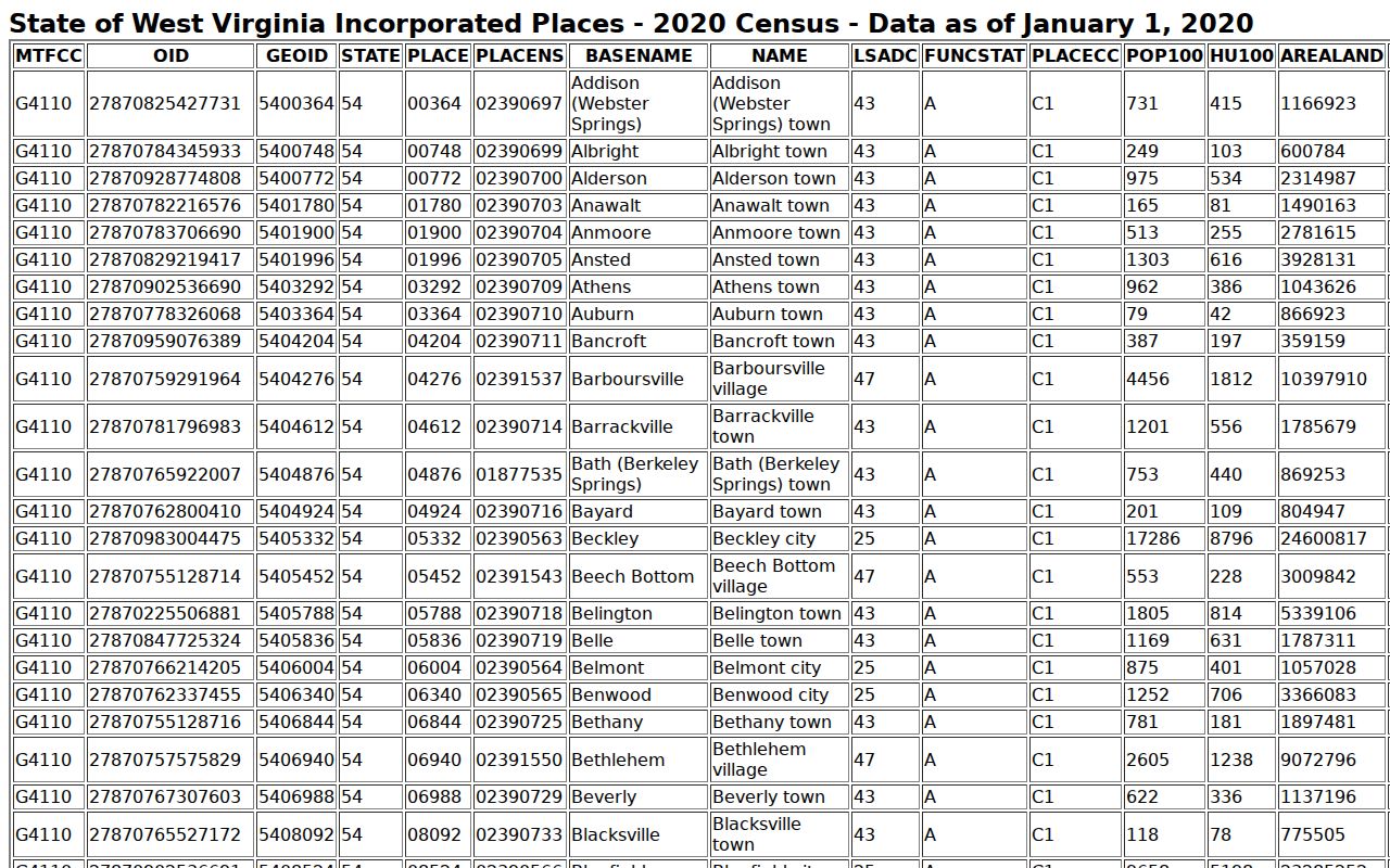
The population entry gives context only; parcel ownership remains in Monongalia County records.