
Monongalia County Block Sources
Every Monongalia County neighbor lookup begins at one parcel and spreads outward. On the WV Property Viewer, nearby tax parcels appear. A buffer control sits alongside them for framing an area. The assessor's Street Name and City fields work well for pulling parcels along a road. The County Clerk's Plat Cabinet shows how a subdivision is laid out. Select the neighboring parcels first. The assessor record then ties each one to an owner-of-record name. The Viewer offers no sortable adjacent-list report. Treat the buffer workflow as a map aid, not a finished neighbor list.
| Source | What It Shows About a Block | Access |
|---|---|---|
| WV Property Viewer | Surface parcel shapes, nearby IDs, owner display, flood and delinquent layers | Public map; geometry tools need live confirmation. |
| County Assessor | Owner-of-record and mailing clues for each parcel | Search Street Name/City or use the parcel ID. |
| County Clerk Plat Cabinet | Subdivision lots, streets, easements, and recorded layout | IDX or Clerk copy request; exact plat page needs parcel research. |
| Morgantown zoning notices | Some nearby Planning Commission or Board of Zoning Appeals notices | Ward and neighborhood notice pages; qualifying matters only. |
These Monongalia County sources identify land and its named owners, not everyone at an address. The state Viewer may display a single owner. Several people may hold an interest, though. An owner's mailing address can also differ from the situs address. A neighbor list is a parcel-by-parcel aid. It is not a household roster.
Mapping a Monongalia County Block
Open the WV Property Viewer at the known address. Zoom until the parcel lines appear. Then spot the subject parcel on the map. Read the adjacent parcel IDs from the display and open each detail page separately. The full six-part Monongalia ID starts with county code 31, though GIS and CAMA displays sometimes drop parts. Copy the exact form shown so every neighbor parcel matches the assessor roll without leaning on a street number alone.
- Search the E-911 address or parcel attributes in the WV Property Viewer.
- Zoom until boundaries appear, select the subject, and record nearby parcel IDs.
- Search each ID or owner name in the county assessor and note physical versus mailing address.
- Compare a plat or municipal notice when the question concerns a subdivision or zoning change.
- Parcel ID
- The map and assessment key for an individual tax lot.
- Adjacent parcel
- A mapped parcel beside the subject; adjacency does not settle a legal boundary.
- Buffer
- A geometry search distance around a location or selected parcel.
- Plat
- A recorded map of subdivision lots, streets, or easements.
The WV Viewer delinquent-layer URL also demonstrates a map parameter for a layer view.
Save the map link to return to the same layer later, then confirm owner details in the assessment record.
Monongalia Neighbor Lookup Limits
A parcel map in Monongalia County shows tax geometry and owner-of-record details. It cannot confirm who lives next door. It also cannot settle whether a line marks a fence boundary. West Virginia's Viewer redacts telephone and security-alarm data. Protected address programs, including Safe at Home, follow separate rules through their administering offices. Keep any Monongalia County property search tied to a parcel, a public zoning matter, or lawful diligence. Direct requests to the custodian that holds the record.
Lawful use. Neighbor records are for parcel, boundary, purchase, and civic questions. Do not use names, addresses, or map results to watch, stalk, harass, intimidate, or harm anyone.
Monongalia County Buffer Search
The WV Viewer offers a geometry search with a buffer-size control. It also supports coordinate search by latitude and longitude. Identify and highlight tools open parcel details. No adjacent-parcel list or result sorting comes back from the tool itself. Start with the subject parcel. Use the buffer to frame an area. Select nearby polygons one at a time until a live test shows the exact behavior. A buffer is a distance-based map filter, not a legal definition of touching land. When a question turns on a shared line, compare the recorded plat and deed. For a quick block scan, keep a table. List the subject ID, each adjacent ID, the map date, and the source behind every owner name.
Monongalia County Street Searches
The Assessor's database includes Street Name and City fields. So it returns parcels along a road even when the neighbor map workflow is unclear. Search the block's street first. Then compare the addresses and parcel IDs against the WV Property Viewer. A development dropdown helps when a block sits inside a named subdivision. Subdivision names and pagination details vary by portal. Turn to the Clerk's Plat Cabinet when lot numbering or common areas matter. A plat shows lots and rights of way. The tax map supplies parcel geometry, and the assessor supplies owner-of-record names. Each Monongalia County layer answers a different question, so use them together.
Monongalia County City Boundaries
A street block can cross a municipal edge. It can also carry a postal city unlike its governing jurisdiction. Morgantown's zoning viewer tests whether an address sits within city limits. Westover publishes zoning and ward maps. Star City's town map carries an October 2024 effective date. It also warns that approved changes may lag. County GIS and assessment records remain the land-parcel route for all three cities. Morgantown organizes its zoning notices by ward and neighborhood. Certain Planning Commission or Board of Zoning Appeals matters require notice to owners within 200 feet. That list is a civic source, not a complete set of adjacent parcels. The Morgantown zoning-notification page shows how the ward and neighborhood notices are organized.
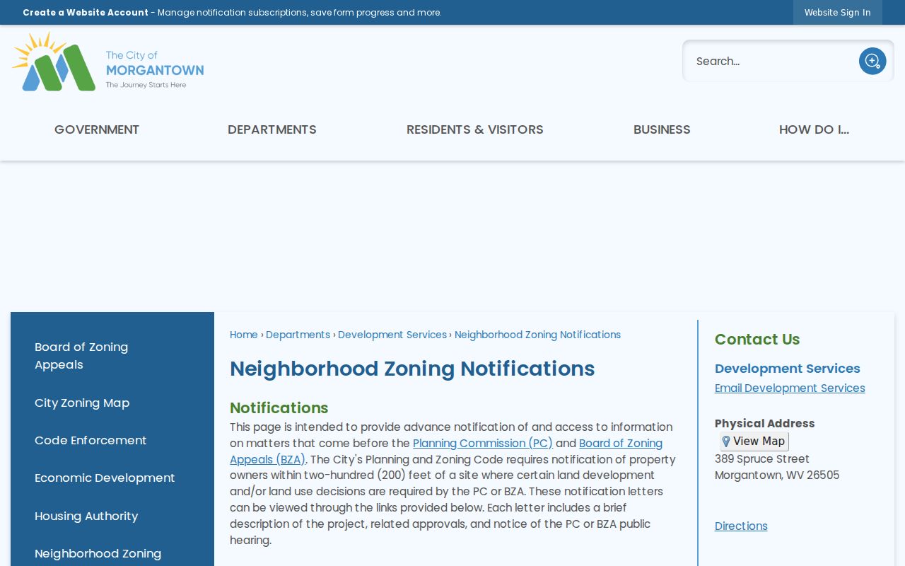
Treat a notice as a lead toward a qualifying land-use case. Never use it as a substitute for the plat or the deed.
Monongalia County Nearby Layers
Flood data and delinquent-land flags add context. The Viewer can overlay flood zones on parcel detail, and its optional delinquent layer is refreshed weekly. Neither layer settles a legal question. A flood overlay is not a survey, nor is it a building approval. Take a delinquent flag to the Sheriff Tax Office. Court and tax-sale events live in the County Clerk index, which can hold lis pendens, report of sale, redemption, and tax-deed entries.
Save the map date and source URL. It makes later comparisons easier. When a recent transfer or boundary line matters, compare the recorded deed with the annual assessment layer and ask the local Assessor. A map screenshot works best as a locator for the parcels around a subject property, not as a final legal conclusion.
Monongalia County Block Plats
A recorded plat can reveal lot lines, streets, easements, and common areas that a current aerial view hides. Plats make block research concrete. Monongalia's County Clerk IDX includes Plat Cabinet and Plat in Deed Book types. The Assessor map room adds tax-map archives. Search by the subject street or the development name. Then check each lot against the county parcel map.
No sample subdivision plat or adjacent-parcel report appears in the online index. Ask the Clerk for the book and page. A map label sometimes needs that confirmation. A plat supports the block view, but a licensed survey is still the tool for a boundary position.