
Monongalia County Parcel Map Layers
The West Virginia Property Viewer draws Monongalia County surface parcels. It connects each outline to its assessment record. Search options cover E-911 address, parcel attributes, and geometry. The detail panel packs in a lot. Flood information, delinquent status, community, owner of record, physical address, building details, cost values, and appraised values can all appear there. A parcel assessment report can appear there too. Identify and highlight, copy link, and KMZ download round out the toolkit for a property search. So do CSV export and a buffer-size control.
| Layer | What It Shows | Use |
|---|---|---|
| Surface parcels | Tax parcel polygon, address, and parcel identifier | Locate the assessment parcel and nearby outlines. |
| Parcel detail | Owner, physical address, building, cost, and appraised fields | Open the assessment report and cross-check the roll. |
| Flood information | Flood-zone and advisory overlays | Use as site context; confirm with the right agency. |
| Delinquent lands | Parcels flagged in the weekly-updated state layer | Check status with Sheriff and Clerk before relying on it. |
| Geometry and basemap | Buffer search, aerial context, and nearby features | Explore adjacent tax parcels, not legal boundaries. |
A map result is only the opening move. Take parcel and value questions to the Assessor. Then bring deed, easement, and plat questions to the County Clerk. The map works hardest for you when you keep the parcel ID. Check it against the deed's legal description. County tax maps are not a survey. The state itself calls parcel lines best-fit reference lines. It also treats calculated acreage as an estimate only.
Finding a Monongalia Parcel by Address
The WV Property Viewer accepts an E-911 address. The address is built on Statewide Addressing and Mapping System data. A rural route or post-office box will fail. No result does not mean no parcel. Try a different street-name abbreviation. Or use the county assessor's Street Name and City fields instead. Postal city and municipal jurisdiction can differ, which trips up many searches. Keep the standardized address and the county parcel ID as two separate pieces of evidence. Put both in your property records file.
- Search the E-911 street address, or switch to parcel attributes and select Monongalia County.
- Zoom in until parcel lines appear, then identify the outline and copy the full ID.
- Review flood and delinquent status and use highlight or copy-link tools to save the view.
- Carry the identifier to the Assessor or County Clerk for the tax card, deed, or plat.
- Parcel ID
- The map and assessment key used to connect a parcel across systems.
- Plat
- A recorded map that lays out lots, streets, and easements.
- Lot and block
- A description tied to a named subdivision plat and lot number.
- Metes and bounds
- A land description that follows measured lines, directions, and calls.
- Easement
- A recorded right to use part of land for a stated purpose.
The WV Property Viewer is the main map entry point for a Monongalia parcel.
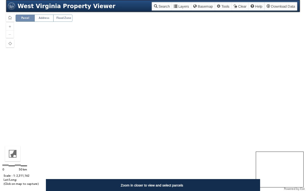
The detail panel links location, flood, owner, and assessment clues worth carrying into the deed index.
Limits of Monongalia Parcel Maps
The WV Property Viewer states its purpose plainly. Its GIS serves tax assessment and general reference, not conclusive legal evidence. Parcel lines are best-fit composites drawn from deeds and surveys. The map can miss recent splits. Stacked assessment cards may display imperfectly, and only surface parcels appear, never mineral interests. Calculated acreage is a GIS estimate. Deeded acreage in the recorded deed takes precedence for assessment.
Before a fence, sale, construction, or access dispute, compare the full deed description and recorded plat. Then get a boundary opinion from a licensed surveyor. The map still earns its keep by pointing to the right tract. It also identifies the office holding the next record. It is simply not the final measurement for a legal line.
Not a survey. Monongalia County GIS parcel outlines are tax-reference geometry, not a surveyed boundary. Check the deed and recorded plat, and use a licensed surveyor when a boundary position matters.
Monongalia County Parcel ID Parts
A full West Virginia parcel ID has six segments. These are county, district, map, parcel prefix, parcel suffix, and special ID. Monongalia's county code is 31. One official example is 31-05-0007-0031-0015-0000. The GIS ID drops the final special ID. The CAMA/IAS format omits the county code. A shorter district-map-parcel label may read 05-7-31.15 or 7-31.15.
Never infer the full ID from that short display. Copy the exact value from the source system and note which version it is. Splits and combinations can make the assessment ID lag. The map outline can also lag behind the recorded deed. A matching street number alone is weaker evidence. A cross-check of the map against the legal description in the deed records is stronger.
Monongalia County Viewer Tools
The Viewer groups its searches into three families: address, parcel attributes, and geometry. Geometry search includes a buffer-size control plus latitude and longitude coordinates. Identify and highlight open a parcel-detail card. Copy link, CSV export, and KMZ download preserve a view or result for your notes. Parcel outlines become visible around 1:18,056 or closer. Stacked parcels may trigger a small result popup before the full detail panel opens.
The state download route also includes GIS files through the State Data Clearinghouse. Digital surface tax maps are available without charge. The assessor's online map room links current maps and archives for offline use, so rely on the state and county map pages for the current file labels rather than guessing at a dataset name.
Monongalia County Plats and Maps
Subdivision layouts live in the County Clerk's Plat Cabinet. Some also appear in Plat in Deed Book entries. The assessor maintains an online map room too. It holds index maps, current tax maps, and archives. A lot-and-block description belongs next to its filed plat. A metes-and-bounds description belongs next to the complete deed and any survey. The assessor's Development filter can hint at a subdivision name. The Clerk still holds the definitive book and page citation.
When a map label and deed description disagree, do not silently pick one. Record the map date and the parcel ID. Also record the deed book, page, and which office supplied each item. Ask the Clerk for the recorded plat or the Assessor for the current tax-map version. A public map may show a parcel for tax purposes. Private access rights or easements can still stay buried in the deed records.
The Monongalia Assessor map room links tax-map choices and archives.
Monongalia County Acreage and Minerals
Acreage shown in the GIS comes from map geometry. It can differ from deeded acreage. When the two conflict, West Virginia assessment guidance says the deeded acreage controls. The map has another limit. The public Viewer displays surface parcels only. Mineral interest records sit on a separate search path. To flag records needing a closer look, the county assessor database offers a Minerals criterion. Read the deed description for acreage questions. Look for a recorded survey or plat too. For mineral ownership, never infer anything from a surface tax card. Never infer it from a map with no mineral parcels shown. Think of the map as a locator and cross-reference tool. The recorded instrument supplies the legal description, along with any reservation or exception it contains.
Monongalia County Map Updates
The statewide assessment and parcel layer refreshes once a year alongside the new tax assessment. County assessors must submit revised parcel lines by February 1 for transfers recorded between July 1 and June 30. If a line still looks outdated after two years, the state says to call the local assessor. The Viewer moves faster on one point. Its delinquent-land layer is refreshed weekly. When you save a screenshot, write the date on it so a later reader knows which map version it came from.
Because of the annual cycle, a recently recorded deed can show up before the map reflects the new owner or the changed boundary. A stale line proves nothing either way. For a parcel correction, the county assessor is the right office to contact, while the County Clerk can confirm the instrument that actually changed the legal record. The state assessment FAQ details the annual update and the limits of the tax map.
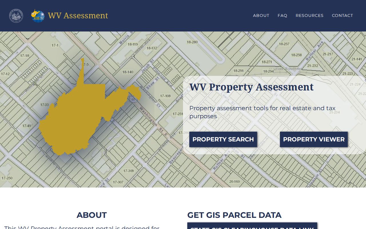
That guidance distinguishes a useful tax reference line from a surveyed legal boundary.