
Search Star City Property Records
A Star City property search starts at the county level. Use the Monongalia County Assessor database or the WV Property Viewer. Save the parcel ID. The County Clerk IDX confirms the owner of record and any recorded plat. The Sheriff Tax Office handles the bill and the delinquent-tax route. Star City keeps the zoning map, its amendment process, and municipal forms. That map may lag an approved amendment. The town runs no separate deed or assessor roll. A zoning applicant is not always the owner.
The county's address and parcel steps appear on the Monongalia County property-search page.
- Search the county assessor by Star City street, owner, or parcel attributes.
- Record the parcel ID and use the County Clerk IDX for deed and plat references.
- Check the Sheriff Tax Office for the account or delinquent-sale question.
- Compare the county parcel with the town’s October 2024 zoning map.
- Ask Code Enforcement for an amendment, building, rental, business, or sign-permit record.
The town's amendment form carries an office-use case number. Star City publishes no address-search database for permits. Match the county parcel first. Then ask Code Enforcement which case record applies. Check whether a site plan or hearing notice exists too. The Star City amendment application page links the town's filing materials.
Who Holds Star City Records
Monongalia County holds Star City deeds, assessment cards, tax accounts, and surface parcel maps. The town holds the rest. Its records cover zoning-map amendments plus building, business, contractor, rental, variance, and sign permits. Title questions go to the County Clerk. Planning questions belong to Star City. Use both when a zoning applicant, the parcel owner, and the person requesting work are not the same party.
Monongalia County Property Records
County offices keep Star City deeds, assessments, tax accounts, and surface parcels.
Star City Land-Use Areas in Records
The town publishes no subdivision plats with names or book-and-page references. Its 2023 draft comprehensive-plan map works differently. It sorts land inside the town boundary into land-use categories. Treat these as map lenses. They are not subdivision names or changes to the binding zoning map. For a specific lot, search the Assessor's Development field and the Clerk's Plat Cabinet. Do not invent a neighborhood label.
| Neighborhood / Subdivision | Era | In the Records |
|---|---|---|
| Residential | 2023 draft plan | Use the county parcel ID and verify the separate official zoning district. |
| Commercial / Industrial-Manufacturing | 2023 draft plan | Compare assessor class and deed easements; land-use color is not ownership. |
| Public-Semi-public / Recreation | 2023 draft plan | Check county deed and municipal dedication or right-of-way records. |
| Undeveloped / Conservation | 2023 draft plan | Use as planning context; confirm parcel owner, restrictions, and current zoning. |
These colors are a draft planning lens. They are not the official October 2024 zoning map. The County Clerk holds any recorded subdivision plat or easement, and the county GIS carries the parcel outline. The Monongalia County parcel-map page explains how a map differs from a legal description.
Star City Record Limits
Town records and county records answer different questions. Star City's map and forms show a zoning district, permit route, or amendment process, while Monongalia County records show the deed, tax owner, and parcel. A draft land-use category is not the official map, and a zoning applicant is not necessarily the owner. A mailing ZIP does not set the municipal line. The county tax map is not a survey.
Lawful use. Use Star City records for parcel, planning, history, and civic questions. Do not use an owner name or address to stalk, harass, intimidate, or harm anyone.
Star City October 2024 Map
Star City dates its zoning map to October 2024 and warns that approved changes may not show up right away. Compare three things when something looks off: the map color, any recent amendment notice, and the county parcel viewer. Save the map date. Then call the office to verify the current district. A screenshot belongs in your file, but it is not a live zoning certificate.
Ordinance updates can lag too. The town posts recent changes separately, so check both the code and current notices before relying on an amendment date. Keep the 2023 draft comprehensive-plan map apart from the 2024 official zoning map. One is a planning layer. The other is the zoning reference.
Use the Star City zoning-map page to verify the published date and update warning.
Star City Zoning Amendment Trail
A zoning-map amendment starts with a completed application filed with Code Enforcement. The officer reviews it and prepares mapping. The Planning Commission then holds a public meeting and makes a recommendation. Town Council hears the case and decides. A legal advertisement must run at least 30 days before the hearing. Adjacent owners get notice. Approval amends the map and brings notice to the applicant. A denial may be appealed to Monongalia County Circuit Court.
That sequence leaves many records leads. Look for the application and map. Planning files may hold the recommendation, legal notice, and hearing record. Council decision papers and the amended map follow, and any appeal closes the trail. The town process describes the zoning history. The County Clerk deed index confirms private ownership and the recorded legal description. The town's zoning-map amendment page links the application and submission route.
Star City Permit Forms
Star City's forms menu covers a wide range of town business. Builders can pull a building permit, while businesses, contractors, and landlords have their own registration forms. Variance requests, sign permits, and zoning-map amendments round out the list. The town publishes no public address-search portal for permits, so these routes serve paperwork and map research rather than an owner lookup. For Monongalia County property records questions, the town forms still help by showing case numbers and applicant or property details.
Code Enforcement sits at 370 Broadway Avenue and answers at 304-599-3550. Applications can be hand delivered, emailed to the published town contacts, or faxed to 304-599-1130 as the form directs. Before relying on an old form, ask the office which records are public, whether plans are on file, and what fees currently apply. The zoning-change application PDF documents the amendment path.
Star City Adjacent-Owner Notices
Star City's amendment process gives researchers a genuine bridge. It connects county maps to municipal land-use history. The town explicitly notifies adjacent owners. It also requires a legal advertisement at least 30 days before a hearing. Start with the parcel in county GIS. Identify nearby parcel numbers there. Then look up those owners in the Assessor. Ask the town which notice was issued for the case. That sequence turns a quiet zoning amendment into a documented piece of Monongalia County property records.
One caution applies. The neighbor list belongs to the amendment process. It is not a public roster of everyone around a lot. County parcel lines are tax references. Use a recorded plat or survey where a shared boundary carries legal weight.
Star City and ZIP 26505
Star City mail is tied to ZIP 26505 in local contact listings. Postal geography, though, does not always follow town lines. An address with that ZIP can hint at where to start an assessor search. The E-911 address, the county parcel map, and the town zoning map settle whether a site sits inside the incorporated town.
Addresses and zoning here can blur toward nearby Morgantown. Tax and deed records stay with the county. Keep the postal city, E-911 address, parcel ID, and municipal jurisdiction as separate fields. That habit keeps any property file clean.
Note: Check the USPS ZIP Code guidance before treating a postal city as a town limit.
Star City Assessment Review
The Monongalia Assessor's current notice covers Tax Year 2027. Star City is among the districts receiving residential field review. That schedule matters. A current assessment card will tell you more. So will a review notice. Any assumed town-wide revaluation date will not. West Virginia's general rule sets assessed value at 60 percent of fair market value. The county publishes no Star City-specific value series or current local exemption list.
Run the Assessor's street or development search for the parcel first. Then compare the assessment against recorded sale references in the deed records. A town zoning class or comprehensive-plan category can shape land-use context. But it is not the assessor's property class. It is never a substitute for a sale appraisal. The state assessment FAQ explains annual updates and reference-map limits.
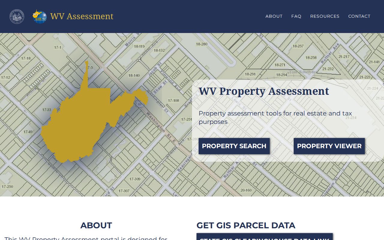
Check with the county Assessor for the active field-review notice and any parcel's current status.
Star City Town Record Context
The 2020 Census counted Star City at 1,779 people. The town's own source calls it a town. That designation holds here. Local and county material sometimes blurs municipal identity, though. Star City's official map and forms offer a local administrative lens. No county-wide index can match it. For Monongalia County property records work, that lens is worth using.
Broadway Avenue anchors the municipal government. Code Enforcement sits at 370 Broadway Avenue. Search a street near that center in the Assessor. Then pull the town's zoning or amendment records for local context. A precise subdivision name and plat page, however, still requires a County Clerk lookup. The Census incorporated-place table lists Star City's 2020 population.
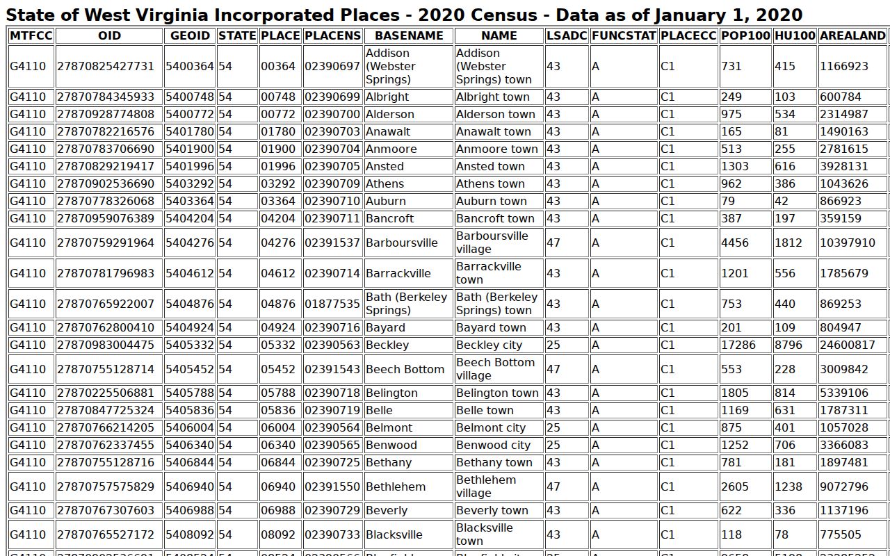
The roster supplies city context; county records establish the parcel and owner.