
Monongalia County Property Values
Three figures compete for the label of a Monongalia County property value. One is the assessment on the tax roll. Another is an appraisal estimate. A third is the consideration written into a recorded deed. West Virginia generally assesses at 60 percent of fair market value, while deed consideration can be nominal, exempt, unstated, or simply unlike an open-market price. Before treating any figure as a value signal, weigh its source and its date.
| Value | What It Is | Where |
|---|---|---|
| Assessed value | Tax measure, generally 60% of fair market value under West Virginia’s rule | County Assessor / state Assessment |
| Appraised value | Assessment estimate and land/building values; exact local card labels were not sampled | Assessor or state appraisal/sales mode |
| Sale price or consideration | Transaction evidence; consideration may not equal open-market value | Deed record and assessor sale filters |
| Calculated acreage | GIS estimate that can differ from deeded acreage | WV Viewer / assessment record |
The Tax Division runs a ratio study that compares appraised values with actual sale prices. July 1 serves as the statewide valuation date. Keep in mind what an assessment is. A Monongalia County assessment is a mass-appraisal figure built for tax purposes. It is not a personal valuation for a purchase or a loan. Value-card labels and exemption fields vary, so treat any result as a distinction between record types. Treat it not as a promise about a particular card.
Look Up a Monongalia County Value
Start with the County Assessor database when you have an address, owner, development, sale range, acreage, or book and page. The state Assessment search offers Basic, Appraisal/Sales, Advanced, and Prior Ownership modes. Once the parcel is pinned down, compare the appraisal fields against the deed's recorded consideration. Also weigh the parcel's class. A neighboring sale is not a direct comparison until location, land use, flood context, and parcel size line up.
- Find the parcel in the Monongalia County Assessor database by street, owner, or map/parcel.
- Open the state Assessment Appraisal/Sales mode and check appraisal, sale date, and sale price fields.
- Search the County Clerk IDX for the instrument and legal description behind a sale reference.
- Compare the assessment year, land use, and acreage before drawing a value conclusion.
- Assessed value
- The figure used to calculate tax, generally 60 percent of the state’s fair-market measure.
- Market value
- A likely exchange value under market conditions, distinct from a tax assessment.
- Assessment ratio
- The relationship between assessed and market value in the state’s valuation framework.
- Consideration
- The amount or value stated in a deed transfer, which may not equal market value.
- Reassessment
- The periodic review and annual adjustment cycle used for the roll.
The state Assessment search includes appraisal and sales modes for a Monongalia parcel. The county Assessor's resource page at assessor.org is the official page shown alongside this section.
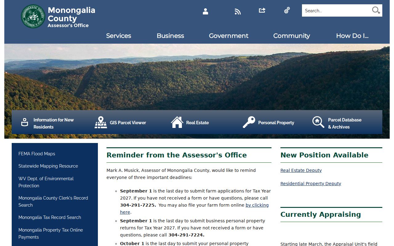
The Monongalia County Assessor page connects the parcel database, GIS viewer, property tax search, and levy-rate documents.
Limits of Monongalia Value Records
An assessor value is not a sale appraisal. It is a tax value built through mass appraisal. It may lag a recent market shift. A deed can state a consideration amount. But the figure may be nominal, exempt, or far from an arm's-length sale. For a transaction or lending question, bring in a qualified appraiser. Review the full facts of the property.
GIS acreage does not measure value either. The state calls calculated acreage an estimate. Deeded acreage controls for assessment. Flood layers, zoning, access easements, property class, and land-use category all shape how two nearby sale figures compare. The tax map locates a parcel. It does not price one.
Value versus price. A Monongalia County assessed value is used for tax purposes and is not what a property will necessarily sell for. It is not a licensed appraisal.
Monongalia County 60 Percent Rule
West Virginia sets assessed value at roughly 60 percent of fair market value. It can also use the legislative valuation measure. Picture a $100,000 market measure. That yields a $60,000 assessed value. The Monongalia County assessor values ordinary residential and commercial property. Natural-resource, industrial, and public-service property fall under separate state valuation roles. Any property value lookup works best when class and assessment year stay in view.
The ratio is statewide context. It is not proof that every local card carries a current market appraisal field. Monongalia's state search separates appraisal and sales modes. Those records can be reviewed on their own terms. Deed records and tax bills live elsewhere; a value question starts and ends with what the figures mean. For billing and the local review process, the Property Tax Records page is the place to look.
The West Virginia Tax Division assessment overview explains the general rule in full.
Monongalia County Sale Evidence
The assessor database lets you search by sale price and date range. You can also narrow by deed type, book, and page. Those fields help you spot a transfer worth reviewing. Exact sale labels, consideration fields, and data coverage are best confirmed inside the county system itself. Once a candidate turns up, open the Clerk's deed index. From there, pull the instrument that records the transaction.
Recorded consideration does not always reflect a market price. It may be nominal. It may involve a family or estate transfer. It may omit an amount that can be compared at all. Read the deed type and date before treating it as a market signal. Check the parties and the legal description too.
Monongalia County Value Timing
West Virginia real property is visited once every three years. Annual adjustments cover value changes in between. July 1 is the valuation date the Tax Division describes. The Monongalia Assessor has announced residential field reviews for Tax Year 2027. Those cover First Ward, Second Ward, Sixth Ward, Seventh Ward, Star City, and Union. Commercial review is planned in several districts too. The reviews show the roll is an active assessment system, not a continuous sale-price feed.
The statewide Viewer refreshes assessment information once a year. A new deed or market shift can surface in one source before another. Note the valuation year and sale date whenever you compare figures. If a value needs review, ask the Assessor for the current notice and Board schedule.
Monongalia County Land Use Values
West Virginia handles farms and managed timberland under special use-value rules. A Monongalia County tract may sit in agricultural or timber use. It may bear little resemblance to a nearby residential parcel. The map can show similar acreage, yet the assessed amounts differ. Check with the Assessor before reading any assessed value as a simple market percentage. Confirm the parcel's classification and the rule that applies.
Municipal planning adds another layer in Monongalia County. Morgantown's plan distinguishes downtown, riverfront, university-adjacent neighborhoods, and redevelopment areas. Star City's draft plan separates residential, commercial, industrial, public, recreation, and undeveloped or conservation land. Treat these categories as context, never as sale appraisals or tax classes. When comparing parcels in property records, compare like uses. Check the current zoning map separately.
Monongalia County Acreage Limits
Mapped acreage and deed acreage do not always agree. When they differ, a value comparison can mislead. The WV Property Viewer labels its calculated acreage an estimate. Deeded acreage controls for assessment purposes. Mineral parcels stay off the surface map entirely. So a surface tax parcel and an underground interest can carry separate record trails in the Monongalia County property records.
Lean on the deed legal description and any recorded plat whenever acreage drives the comparison. The map plots the parcel shape, flood zone, community, and owner of record. It is not a survey. Those limits matter most when a sale price looks unusually high or low beside nearby properties in the Monongalia County tax roll.