
Search Morgantown Property Records
Start with the Monongalia County assessor parcel database. Save the parcel ID once you find it. The County Clerk's IDX then confirms the recorded deed and any plat references. The Sheriff Tax Office handles the bill and tax status. For mapping, the WV Property Viewer adds parcels and flood layers. Morgantown's own records answer a different set of questions. Those include permits, inspections, zoning, historic review, and whether an address falls inside city limits. The city does not keep a separate deed or assessor system. The county-wide lookup fields and deed process appear on the Monongalia County property-search page. A city-specific search adds a permit check once the county parcel is known.
- Search the county assessor by Morgantown street or development and save the parcel ID.
- Confirm the current grantee and legal description in the County Clerk IDX.
- Use the Sheriff Tax Office for a bill question and the WV Viewer for parcel context.
- Check Morgantown’s zoning viewer for city-limit and district context.
- Use the Access Portal or Code Enforcement for a city permit or inspection record.
Morgantown's permitting and licensing portal requires an account. Building applications go through its online process rather than on paper. Confirm the parcel and street address with the county first. Then use the city portal to follow a project's permit or inspection trail. The Morgantown permit and licensing page explains the application route for each scope of work. Each route differs by project.
Where Morgantown Records Are Kept
Monongalia County holds Morgantown's deeds, assessment cards, tax accounts, and parcel mapping. The County Clerk is the land-record custodian. The Assessor maintains the roll. The Sheriff Tax Office bills and collects. The state Viewer presents the GIS layers. Morgantown itself holds permits, licensing, code enforcement, zoning, and historic-review records. Read both layers together whenever a property's title and its permitted use both matter.
Monongalia County Property Records
The County Clerk, Assessor, Sheriff, and WV GIS hold the land and tax records for city parcels.
Morgantown Permits and Zoning
389 Spruce Street
Morgantown, WV
304-284-7401
Morgantown Neighborhoods in Records
Morgantown's historic districts and ward neighborhoods make useful search geography. Their boundary streets work as Assessor Street Name queries. From there, ask the Clerk for the matching plat or deed reference. Keep the distinction clear. A historic district is a city overlay. It is not a subdivision plat and not proof of any specific lot line.
| Neighborhood / Subdivision | Era | In the Records |
|---|---|---|
| South Park Historic District | Listed 1990 | Boundary-street search around Elgin, Kingwood, Cobun, Prairie, Jefferson, Lincoln, and Grand. |
| Downtown Morgantown Historic District | Listed 1996 | Use Chestnut, Spruce, Foundry, and Willey streets to locate parcels; confirm lot plat. |
| Wharf and Warehouse District | Listed 1998 | Riverfront context from Warren to Walnut; check easements and deed descriptions. |
| Chancery Hill / Greenmont | Expanded 2001 / listed 2005 | Use named boundary streets as search leads; exact plat pages were not captured. |
For streets near these districts, search the assessor by address, then verify the lot layout through the Clerk's Plat Cabinet or Plat in Deed Book index. A named area is a geographic lead only. The Monongalia County parcel-map page explains the county and state map systems.
Morgantown Property Record Limits
A county deed, an assessment value, or a tax status can all surface in Morgantown property records. So can parcel geometry, a city permit, or a zoning decision. They do not describe the same boundary. They do not update on the same schedule. A mailing address can say Morgantown while the land sits in unincorporated county territory. Remember the limits. A permit applicant is not necessarily the owner. A map is neither a title opinion nor a survey.
Lawful use. Use Morgantown property records for property, history, and civic research. Do not use an owner name or address to stalk, harass, intimidate, or harm anyone.
Morgantown Wharf and Riverfront
The Morgantown Wharf and Warehouse Historic District runs along the Monongahela River. It stretches from Warren Street to Walnut Street. A property search here can surface commercial, industrial, residential, or converted-building histories. Follow the full land trail. That means the deed, easements, rights of way, and plats. It also includes any city permit or historic-review record tied to the building. Street numbers and uses shift along a riverfront block. Match a deed by its legal description, not just a current business name. Flood context and recorded access rights may matter. But the GIS overlay never replaces a survey or an instrument in the County Clerk's files. The Historic Landmarks Commission page identifies the district and its named structures.
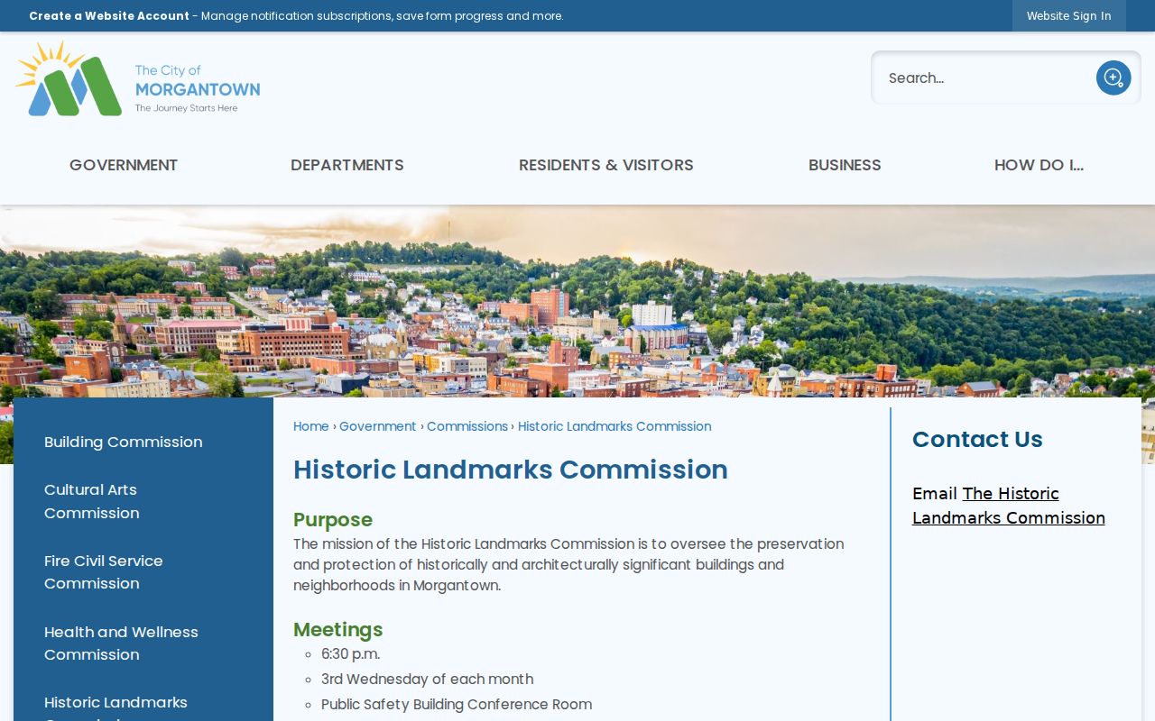
Treat the boundary description as a search lens. Then confirm the actual lot in county deeds and plats.
Morgantown South Park and Greenmont
South Park's district boundary uses Elgin, Kingwood, Cobun, Prairie, Jefferson, Lincoln, and Grand streets. Greenmont sits roughly within Arlington, Front, Conn, White, Posten, Kingwood, and Decker. These give concrete street-name queries for the assessor database and city historic records. They do not establish subdivision names or current parcel lines. The city listed the two historic districts in 1990 and 2005. For a house-history question, compare a city historic-review record with the assessor's building and value fields and the County Clerk's deed description. A district date is an overlay clue, not a deed date.
Morgantown University-Area Parcels
Sunnyside, Evansdale, Wiles Hill, Highland Park, Woodburn, and Price Street show up in city ward notices and comprehensive-plan material as established or university-adjacent neighborhoods. They are not one recorded subdivision. Search the specific street and parcel. Use the named area as a location clue rather than an owner or plat label. For a building-history file, the city's Access Portal handles permit applications, licensing, registration, payments, status tracking, and staff communication. It requires an account. The city does not accept paper building-permit applications. Each scope of work, including electrical or plumbing, may need its own application type. The Morgantown permitting page links to the account-based Access Portal.
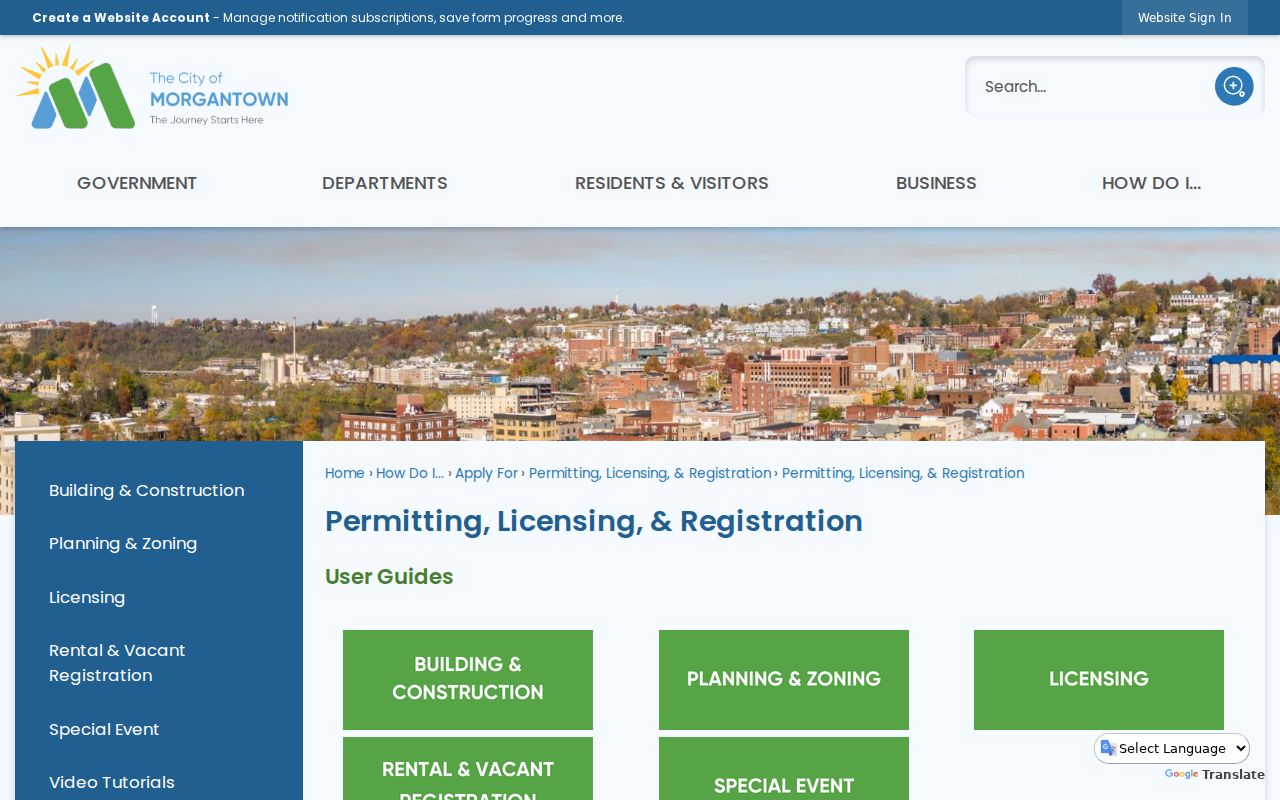
The portal is a permit and licensing route, not a public owner-search database.
Morgantown Annexation Edges
Growth does not stop at Morgantown's borders. Comprehensive-plan material from the city looks past the limits of Morgantown, Star City, Granville, and Westover. In 2019 a public notice proposed a 3.8-square-mile boundary adjustment. It covered Suncrest, Mileground, and First Ward. That proposal never became a finished annexation. A Morgantown mailing address, in fact, can sit on unincorporated county land. It can also sit inside another municipality entirely.
For any edge property, start with the Morgantown zoning viewer. Then compare the county tax district against the parcel map. Permit jurisdiction follows the actual city limit, while deeds and assessment stay county-held. Confirm today's boundary directly before trusting an older plan or notice.
Test the city limit in the viewer first. Then keep the county parcel ID handy for title and tax research.
Morgantown Notices and Landmarks
Some Morgantown Planning Commission and Board of Zoning Appeals actions require notice. Owners within 200 feet must receive it. The city groups these notices by ward. Neighborhoods named can include Chancery Hill and South Park. Others are Greenmont, Wiles Hill, Highland Park, Sunnyside, Downtown, Suncrest, Evansdale, Woodburn, Price Street, Jerome Park, Sabraton, and South Hills. A notice like that ties a nearby parcel map to a live land-use question.
Landmarks help too. The Seneca Glass Company Building, Vance Farmhouse, Waitman T. Willey House, Walters Residence, the WCTU Community Building, and Woodburn Circle can serve as leads. Check them in city permit files and county deeds. No separate title record comes from the city for a landmark. Work through the Morgantown neighborhood notices by ward and neighborhood.
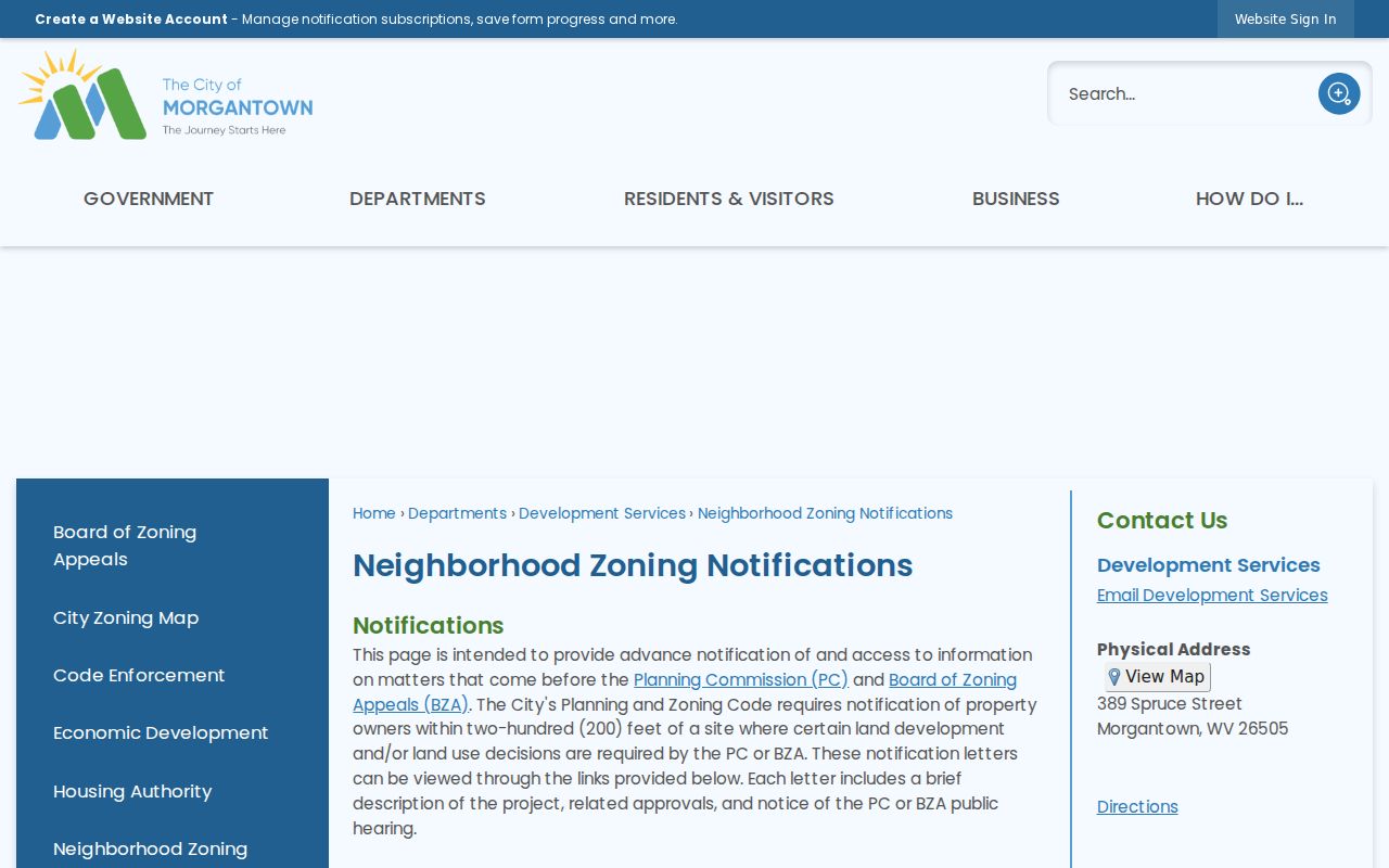
Let a notice point you to a qualifying planning case. Then check the county map and the deed on their own.
Morgantown ZIP and Population
The 2020 Census counted 30,347 people in Morgantown. A Census QuickFacts estimate for July 2025 puts the figure at 30,293. Morgantown is the seat of Monongalia County. Numbers like these show scale only. They identify no parcel, owner of record, tax district, or city-limit line.
Postal ZIPs here include 26501, 26505, 26506, and 26508. USPS cautions that a ZIP area need not match municipal limits. For jurisdiction, use the standardized address plus the city zoning viewer. For the parcel itself, rely on the county assessor's City and Street Name fields. The E-911 address works too. The Census incorporated-place table holds the 2020 population behind this city roster.
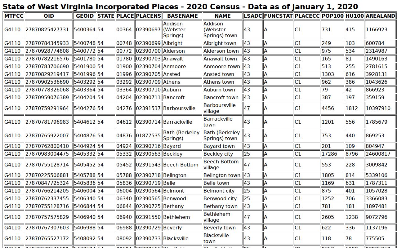
Population tables give context only. County records remain the true source for parcel ownership and value.